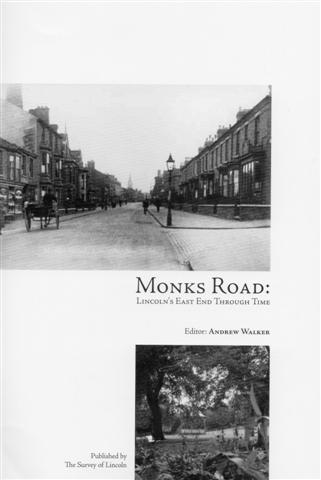
Monk’s Road: Lincoln’s East End through time.
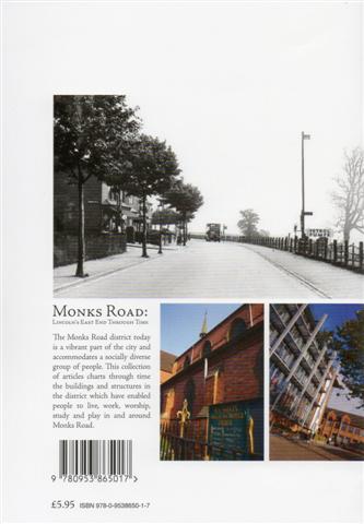
£5.95
Description
This volume, the 2nd in the series of the Survey of Lincoln booklets, comprises articles charting, through time, the buildings and structures in the district which have enabled people to live, work, worship, study and play in and around Monk’s Road from prehistoric to modern time. Today it is a vibrant part of the city and accommodates a socially diverse group of people.
For the purposes of this booklet, the Monk’s Road district has been defined as being the length of Monk’s Road , with its western boundary the junction with Broadgate, its eastern boundary where Monk’s Road terminates and Allenby Road begins. The northern boundary of the area is marked by Lindum Terrace and the southern is the River Witham. Some of the area of the district lies with the parish of St Swithin however it was felt appropriate to examine the parish church which is situated immediately to the west of Broadgate.
Additional information
| Weight | N/A |
|---|---|
| Type | Paperback |
| Author | Ed. Andrew Walker |
| Publisher | Survey of Lincoln |
You may also like…
-
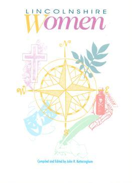
Lincolnshire Women
Price range: £5.50 through £8.99Select options This product has multiple variants. The options may be chosen on the product page -
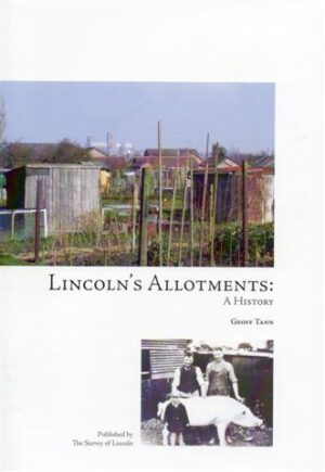
Lincoln’s Allotments: A History
£5.95Select options This product has multiple variants. The options may be chosen on the product page -
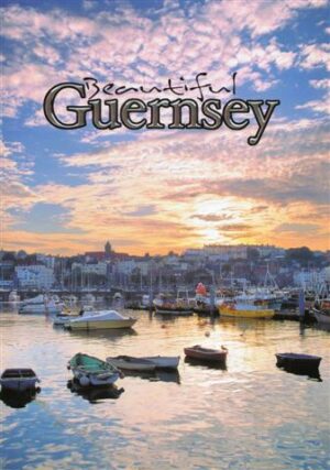
Beautiful Guernsey
£2.00Select options This product has multiple variants. The options may be chosen on the product page -
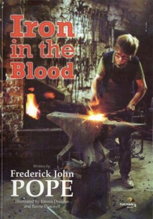
Iron in the Blood by Fred Pope
£9.99Select options This product has multiple variants. The options may be chosen on the product page -

Interwoven Strands – 1660-1947
£10.00Select options This product has multiple variants. The options may be chosen on the product page -

Lincoln’s Castle, Bail and Close
£6.95Select options This product has multiple variants. The options may be chosen on the product page -
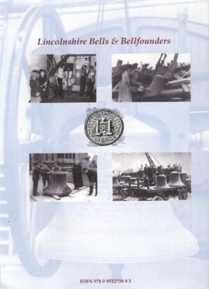
Lincolnshire Bells and Bellfounders
£50.00Select options This product has multiple variants. The options may be chosen on the product page
Related products
-

Bomber Command. The Victoria Cross Raids
£14.95Select options This product has multiple variants. The options may be chosen on the product page -
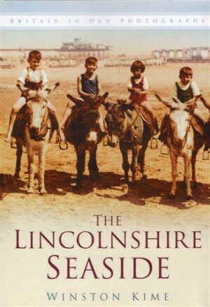
The Lincolnshire Seaside
£12.99Select options This product has multiple variants. The options may be chosen on the product page -
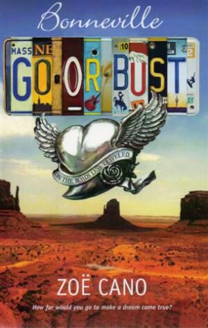
Bonneville – Go or Bust
£15.99Select options This product has multiple variants. The options may be chosen on the product page -
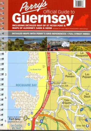
Perry’s Official Guide to Guernsey
£7.95Select options This product has multiple variants. The options may be chosen on the product page
Reviews
There are no reviews yet.