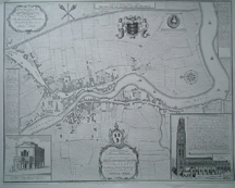
Hall’s Map of Boston – 1741
£4.50
Description
One of three maps of Boston available.
Hall’s Map of Boston – 1741 Surveyed by Robert Hall. This is the earliest known authentic map of the town and the path of the River Witham through Boston, dating from 1741.
Approximately 60cm (23.5″) x 46.5cm (18.25″).
Please note my apologies regarding the cost of postage on maps. Unfortunately, as I use cardboard rolls, to post them, the cost is quite high. The Post Office treat rolls as medium parcels! If you would prefer it to be folded – the postage will be significantly less but please email me prior to ordering so I can arrange a reduction in the postage charged.
Additional information
| Weight | N/A |
|---|---|
| Type | Prints |
| Author | Surveyed by Robert Hall |
| Publisher | Richard Kay Publications |
You may also like…
-
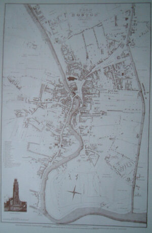
Map of Boston – 1829
£7.50Select options This product has multiple variants. The options may be chosen on the product page -
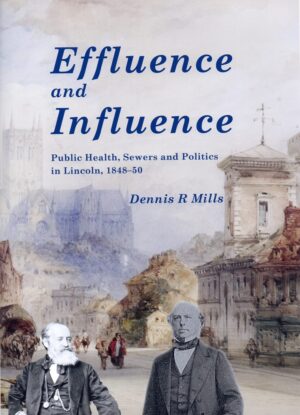
Effluence and Influence: Public Health, Sewers and Politics in Lincoln, 1848-50
£12.50Select options This product has multiple variants. The options may be chosen on the product page -
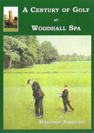
A Century of Golf at Woodhall Spa
£7.50Select options This product has multiple variants. The options may be chosen on the product page -

Fungus: The Lincolnshire Cat
Price range: £2.00 through £3.00Select options This product has multiple variants. The options may be chosen on the product page -

General Duties
£9.50Select options This product has multiple variants. The options may be chosen on the product page -
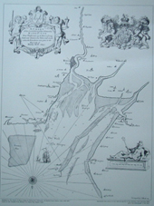
Chart (Map) of the Wash – 1693
£4.50Select options This product has multiple variants. The options may be chosen on the product page
Related products
-
Occasional Papers in Lincolnshire History and Archaeology No 11
£4.95Select options This product has multiple variants. The options may be chosen on the product page -
Perry’s Official Guide to Guernsey
£7.95Select options This product has multiple variants. The options may be chosen on the product page
Reviews
There are no reviews yet.